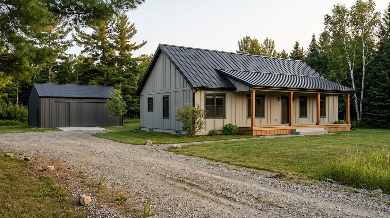
Thinking about splitting your acreage near Rochert? If your land touches or sits near a lake, river, or stream, shoreland rules can change what is possible. You want a clear path from idea to recorded lots without surprises.
In this guide, you will learn how shoreland density affects lot count, how preliminary and final plats move from concept to approval, what fees and hearings to expect, and what to prepare so your application is complete the first time. You will also get a practical checklist tailored to Becker County. Let’s dive in.
Shoreland rules in Becker County
Shoreland zoning applies to land within set distances of public waters. In Becker County, local staff administer shoreland, subdivision, and zoning, with baseline standards guided by the Minnesota Department of Natural Resources. The county’s ordinance sets minimum lot area, lot width at the ordinary high water level, setbacks, and impervious surface limits.
Several agencies influence shoreland projects:
- Becker County Planning & Zoning and Environmental Services manage the subdivision process, shoreland standards, septic review, and hearings.
- Minnesota Department of Natural Resources provides shoreland management guidance and lake and stream protections.
- Minnesota Department of Health sets standards for on-site sewage treatment that affect lot sizing and buildability.
- Minnesota Pollution Control Agency and local watershed districts review stormwater and erosion control.
- U.S. Army Corps of Engineers and MN DNR review wetlands if they are present.
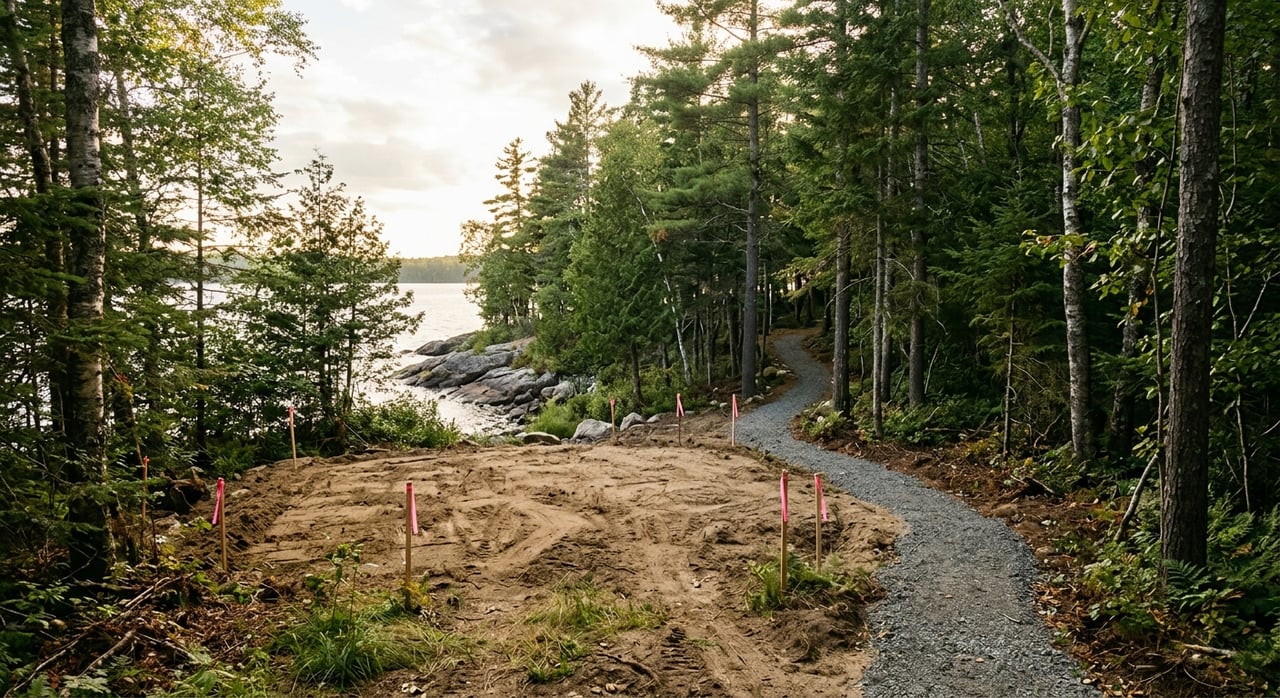
Before you draw lot lines, confirm whether your land is inside the shoreland zone, note the lake or stream classification, and review county shoreland standards that apply to your shoreline.
Preliminary vs. final plat: your roadmap
Most projects follow a two-step path. A pre-application meeting saves time and helps you understand site limits before you spend on full plans.
Step 1: Pre-application meeting
Schedule time with Becker County Planning & Zoning, the County Engineer, and Environmental/Septic staff. Bring a sketch showing tentative lot lines, access, and known features. Ask about shoreland setbacks, wetlands, soils, and road standards that will shape your design.
Step 2: Preliminary plat and hearing
Your preliminary plat package typically includes a survey-based map, proposed lot areas and widths, topography, existing structures, shoreline and wetland information, a concept road layout, and early septic and drainage notes. The county circulates your submittal to reviewing agencies for comments. A public hearing follows, with mailed notice to nearby owners. The Planning Commission reviews zoning, shoreland density, access, and easements, and may approve with conditions.
Step 3: Final plat, bonds, and recording
After you satisfy conditions, submit your final plat with certified survey, engineering plans, dedication and easement documents, septic approvals, and any required bonds or escrow for improvements. County staff and possibly the County Board review, sign, and authorize recording. Once recorded, you complete monumentation and finish any required road work or private maintenance agreements.
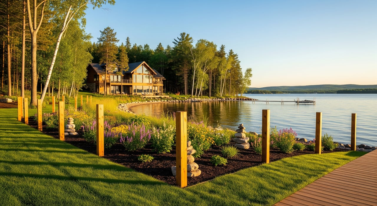
Shoreland density: what limits lot count
Shoreland rules often cap how many new lots you can create along a shoreline. The county ordinance sets minimum lot area and lot width at the ordinary high water level. Some lakes and rivers have density formulas that limit parcels per 1,000 feet of shoreline.
Two practical effects matter most:
- Septic and setback space reduces usable area. Even if a lot looks big on a map, you need space for the home, septic system, and future septic replacement area outside required setbacks.
- Lot width at the water controls frontage splits. Width standards can reduce the number of buildable lots more than total acreage alone.
Ask county staff to confirm the classification of your lake or stream and the specific standards that apply to your shoreline segment near Rochert.
Septic, setbacks, and buildable area
In unsewered shoreland, the Minnesota Department of Health standards guide where a septic system can go and how much area is needed. County environmental staff will look at soil types, groundwater separation, and distances to the ordinary high water level. Steep slopes, wetlands, and poor soils can force larger lots or different layouts.
Plan each lot with:
- A primary and a future septic reserve area meeting MDH and county separation distances.
- Structure setbacks from the shoreline and from property lines.
- Space for a driveway and safe access for emergency vehicles.
If individual systems are tight, a shared or cluster system may be an option, but that requires more design detail and recorded maintenance agreements.
Fees, hearings, and timelines
Every county sets its own fee schedule, notice rules, and timelines. In Becker County, expect a structure similar to this, but verify current details with staff:
- Fees you may see: preliminary plat application fee, per-lot fees, final plat fee, escrow or engineering review deposits, road inspection or bonding, septic review fees, and recording costs. Variance or conditional use fees may apply if requested.
- Hearings: preliminary plats usually require a public hearing before the Planning Commission or a similar body. Final plats may be administrative or go to the County Board depending on conditions.
- Timelines: many Minnesota counties take about 6 to 12 weeks from a complete preliminary plat submittal to a decision. Final plat review and recording often add another 4 to 12 weeks once conditions are met. Wetland permits, road design revisions, or septic challenges can extend your schedule.
Build in time for agency review cycles and for any fieldwork that is season dependent, such as soil testing and wetland delineations.
What to prepare before you apply
A complete, well-documented submittal improves your odds at the first hearing. Use this checklist to get ready:
- Meet with county staff to confirm standards and the review path.
- Order a boundary and topographic survey from a licensed Minnesota surveyor with Becker County experience.
- Map shoreland features: ordinary high water level, shore impact zone, floodplain, and vegetative buffers if present.
- Conduct soil tests or test pits for septic feasibility following MDH protocols.
- Hire a qualified consultant to delineate wetlands if they are present or suspected.
- Draft a conceptual road and access plan that meets County Engineer standards.
- Sketch septic locations and reserve areas, and note private wells or water supply plans.
- Prepare a preliminary stormwater and erosion control approach.
- Review title and existing easements or covenants that may affect access or utilities.
- Draft maintenance agreements and covenants for private roads or shared systems.
Bring these items to your pre-application meeting to get targeted feedback before you finalize the preliminary plat.
Roads, utilities, and shared maintenance
Road design is a common stumbling block. The County Engineer will look at right-of-way width, grades, surface design, culverts, and turning radii. Public roads must meet county standards before acceptance. Private roads typically require a recorded maintenance agreement and must allow safe emergency access.
Utility planning avoids costly redesigns. Coordinate early with power and telecom providers on line extensions and easements. In rural shoreland, most projects rely on private wells, so plan well and septic separation distances across lot lines. If you use shared infrastructure, include recorded easements and clear operation and maintenance language in your final documents.
Common pitfalls and how to avoid them
- Relying on maps instead of soil testing. Field tests can change your lot layout. Do them early.
- Overlooking wetlands. A late delineation can force redesigns or trigger permits.
- Designing to minimum area only. Buildable area after setbacks and septic space is what matters.
- Underestimating road costs. Be ready for bonds or escrow and build to county standards.
- Waiting to call utilities. Confirm service feasibility and easements before your hearing.
Simple strategy wins here: meet early with county staff, hire local professionals, and give yourself extra space on lot sizes to avoid tight setbacks and septic conflicts.
How to confirm Becker County specifics
Because ordinances and fees change, verify your details with primary sources:
- Becker County Planning & Zoning for subdivision and shoreland rules, applications, and hearings.
- Becker County Environmental Services or Soil & Water Conservation for septic and resource reviews.
- Becker County Highway or County Engineer for road standards and access.
- Becker County Recorder for final plat recording requirements and fees.
- Minnesota Department of Natural Resources for shoreland classifications and ordinary high water level guidance.
- Minnesota Department of Health for on-site sewage treatment system standards.
Ask staff for the current zoning and subdivision ordinances, fee schedule, application checklists, and any shoreland-specific guidance that applies to your parcel near Rochert.
Partner locally to move from plan to plat
Subdividing near Rochert rewards a disciplined approach. Start with a pre-application meeting, gather the right field data, design for shoreland density and septic realities, and bring complete documents to your hearing. With the right team and a clear plan, you can move from concept to recorded lots with fewer detours.
If you want a second set of eyes on your concept map, a referral to surveyors and engineers who work in Becker County, or guidance on timing and marketing once your plat records, reach out. Request your free, no-pressure consult today through Unknown Company.
FAQs
What is the difference between a preliminary and final plat in Becker County?
- A preliminary plat is your detailed concept reviewed at a public hearing, often approved with conditions. A final plat includes certified survey and engineering, satisfies conditions, and is recorded once approved.
How do shoreland rules affect lot count near Rochert?
- Shoreland standards set minimum lot area and width at the water, plus setbacks and coverage limits. These reduce how many buildable lots you can create along a shoreline, even on larger acreages.
Why is septic testing important for shoreland subdivision?
- MDH and county rules require specific soils, groundwater separation, and setbacks from the ordinary high water level. Testing confirms whether each lot can support a system and a future replacement area.
What fees and bonds should I budget for a plat in Becker County?
- Expect application fees for preliminary and final plats, per-lot fees, engineering or escrow deposits, septic review fees, and recording costs. Bonds or letters of credit may be required for road and drainage improvements.
How long does the subdivision process take near Rochert?
- Many projects take about 6 to 12 weeks for a preliminary plat decision after a complete submittal, and 4 to 12 weeks for final plat and recording once conditions are met. Complex sites can take longer.
Who should I contact to verify shoreland and septic standards for my parcel?
- Contact Becker County Planning & Zoning and Environmental Services for shoreland and septic guidance, the County Engineer for road standards, and the MN DNR and MDH for technical support related to shoreland and on-site sewage systems.