Thinking about buying land near Dent for a small project? What looks simple on a map can get more complicated once you start asking the right questions about jurisdiction, access, utilities, and subdivision rules. If you want to avoid delays, extra costs, or a parcel that does not fit your plan, it helps to follow a clear due-diligence process from the start. Let’s dive in.
Start With Jurisdiction
One of the first things you should confirm is whether the land is inside Dent city limits or in a nearby township. That matters because Dent is a very small city, and surrounding parcels may fall under different local oversight, road authorities, and permit paths depending on location. Otter Tail County identifies Dent, Edna Township, and Star Lake Township as relevant local jurisdictions in the area, so the right contact can change from one parcel to the next. You can start with the county’s Dent community page to verify local context.
This step is easy to overlook, but it affects nearly everything that comes next. If you assume a parcel is in the city when it is actually in a township, you could waste time calling the wrong office about access, approvals, or land use questions. For small developers, getting this answer first keeps the rest of your planning grounded in the right process.
Use the County GIS Early
Before you sketch a site plan or think too far ahead, pull up the county’s GIS maps. Otter Tail County’s GIS system shows parcel records, tax assessments, sales history, permits, township information, aerial imagery, and links to DNR lakes. It is one of the best early-screening tools available when you are trying to understand what you are really buying.
Just keep in mind that the county says cadastral maps are reference tools only and not legal descriptions. That means GIS is great for initial review, but it does not replace title work, a survey, or legal review. It is a smart first step, not the final word.
Check Permit and Parcel History
The county notes that permit history available through GIS may include shoreland, variance, septic, and other permits, with some older permits going back to the 1970s. That can help you spot issues or opportunities before you close. For example, you may learn whether prior owners pursued a variance, installed a septic system, or ran into limitations tied to the parcel.
You should also know where county information stops. Otter Tail County says it does not provide legal advice or certify search results, so title, boundary, and encumbrance questions still belong with a title company, attorney, or surveyor. If you are evaluating development potential, that outside review is not optional.
Understand Subdivision Rules
If your plan includes splitting land, this is one of the biggest issues to review up front. Otter Tail County defines a subdivision broadly as any division into two or more lots, parcels, sites, units, plots, condominiums, tracts, or interests, including metes-and-bounds splits and condominium conversions. In other words, even a small or informal-looking split may still count as a subdivision.
The county also states that, as of August 1, 2024, any land subdivision filed for recording that is under five acres must first be reviewed and approved by Land and Resource Management. You can review the county’s subdivision of land requirements before you make assumptions about what can happen later.
For a small developer, this matters in two ways:
- You should not assume you can split a parcel after closing without review.
- You should factor county timing and approval steps into your project schedule.
- You should confirm whether your concept involves a regulated subdivision before you price the deal.
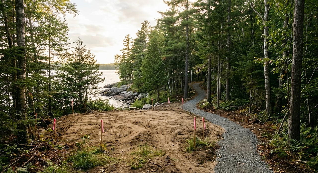
Watch for Shoreland Triggers
Near Dent, proximity to water can change the rules quickly. Otter Tail County’s shoreland ordinance applies within 1,000 feet of a lake or 300 feet of a river or floodplain, whichever is greater. If your parcel falls in that area, you may need to account for added setback, sanitation, and water-supply standards.
This is especially important in lakes country, where a parcel can look buildable at first glance but still carry added restrictions because of its location near water. If your concept depends on a certain building envelope or lot layout, shoreland review should happen early, not after you already have money and design time invested.
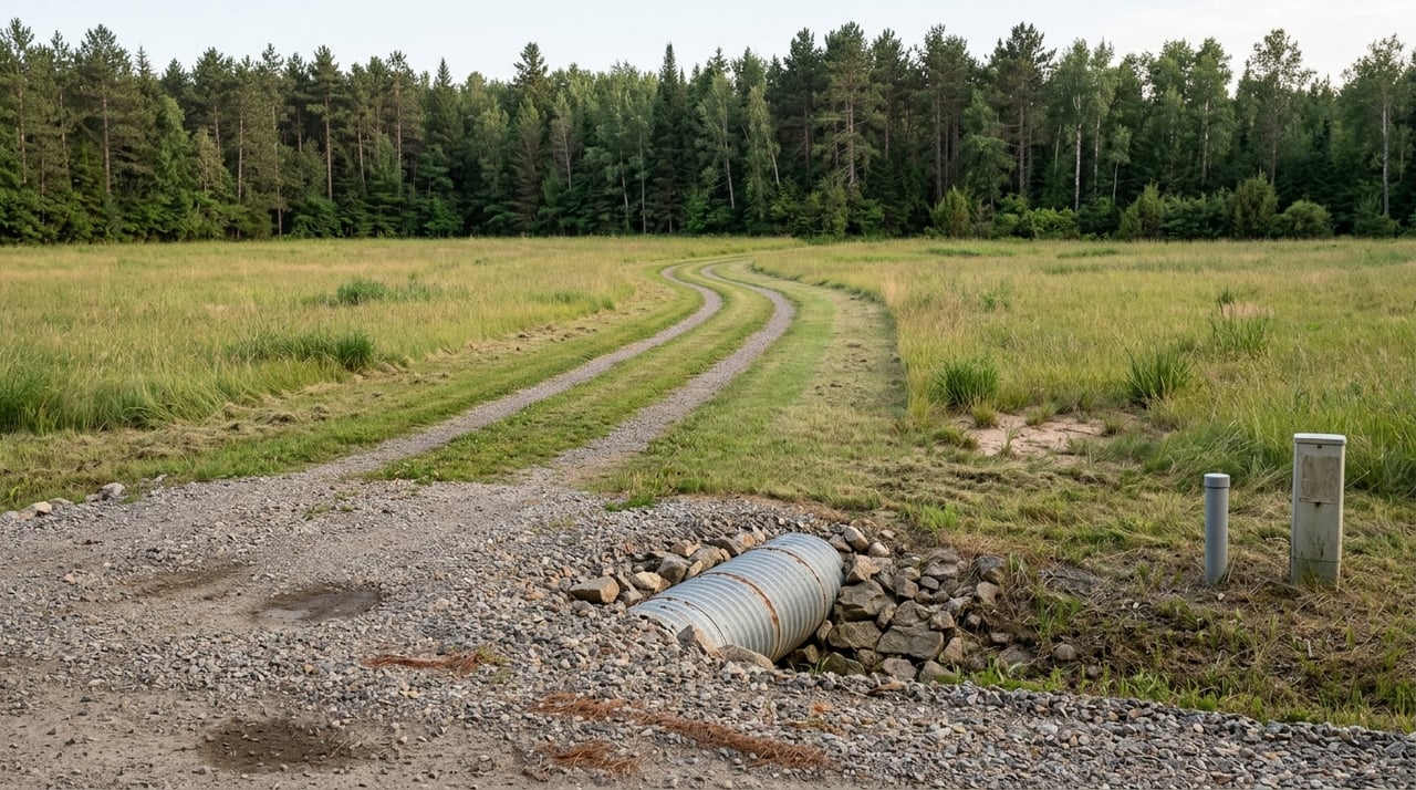
Verify Road Access Before Closing
Access is another area where small developers can run into trouble if they move too fast. For a new driveway or approach, the county requires an application sketch and says approvals are based on traffic safety concerns and existing property access points. The county also states that residential horseshoe approaches are not allowed under this process. You can review the highway application forms and access requirements before finalizing your site plan.
The practical takeaway is simple: a road-front parcel is not automatically an easy-access parcel. You should verify that a feasible approach can be approved before you close or before you commit to a build concept that depends on a certain entry point.
Confirm the Correct Road Authority
Not every road question goes to the same office. Otter Tail County says county roads are handled by the county highway department, state highways should be directed to MnDOT, and city or township roads should be handled by the local government. That means your first step is identifying the road frontage and figuring out who actually controls it.
If your project involves work in county right-of-way, the county requires a right-of-way permit. If utility installation or replacement is involved in county right-of-way, the county says a utility permit is required instead of the general form. Knowing this early helps you avoid permit surprises during design or construction planning.
Plan for Sewer, Septic, and Well Questions
Utilities can make or break a small development budget. If public sewer is available, that may simplify part of your planning. If it is not, Otter Tail County says a permit is required for a new or replacement septic system, the system must be designed by a licensed septic designer, and installation must be completed by a licensed installer. The county’s septic permit page outlines that process.
The county’s shoreland ordinance also states that human-occupancy premises must connect to a publicly owned sewer system where available or otherwise comply with the county sanitation code. For domestic water, the ordinance says public or private systems must meet state water-quality standards.
If the parcel will rely on a private well, the county relays Minnesota Department of Health guidance that owners should test annually for nitrate and coliform bacteria and at least once for arsenic, lead, and manganese. That does not answer every utility question, but it gives you a realistic picture of the due diligence you may need if municipal service is not there.
Ask the Assessor When Value Questions Come Up
If you have questions about parcel value or classification, Otter Tail County says the assessor who values and classifies the property should be your first contact. The county’s assessor contact page lists Dent City’s assigned appraiser as Thomas Smieja.
This can be useful if you are comparing parcels or trying to understand how a property is currently classified. It is not a substitute for full development analysis, but it is a practical piece of the puzzle when you are evaluating carrying costs and potential use.
A Simple Due-Diligence Order
If you are looking at land near Dent, the most useful sequence is usually the simplest one. Start by confirming jurisdiction, then check parcel and permit history, verify access, and determine whether public utilities are available or whether septic and a private well will be needed. After that, move into subdivision and shoreland questions if the parcel location triggers them.
That order matches how Otter Tail County structures its land-use, road, and permitting systems. It also helps you avoid spending time on later-stage questions before you have answered the basic ones that can stop a project early.
Why Local Guidance Helps
Land near Dent can be full of opportunity, especially for small developers who understand rural parcels, lakes-country conditions, and county process. But the details matter, and the wrong assumption on jurisdiction, access, or utilities can change your budget and timeline fast. Having a steady, local, process-driven approach makes it much easier to evaluate whether a parcel is truly development-ready for your goals.
If you are considering land near Dent and want help evaluating the next step, connect with Jason Bristlin. His local market knowledge, land experience, and disciplined approach can help you sort through the details before you commit.
FAQs
What should small developers check first for land near Dent?
- First, confirm whether the parcel is inside Dent city limits or in a township, because that determines the local contacts, road authority, and permit path.
Can you split land near Dent into smaller lots later?
- Maybe, but Otter Tail County defines subdivision broadly, and any subdivision under five acres filed for recording must be reviewed and approved by Land and Resource Management first.
Do parcels near Dent need septic systems and private wells?
- If public sewer is not available, county septic permitting rules apply, and private wells should follow Minnesota Department of Health testing guidance relayed by the county.
How do you check road access for a Dent-area parcel?
- Review the frontage, identify the correct road authority, and check the county approach permit process early because access approvals are based on traffic safety and existing access points.
Do shoreland rules affect land near Dent?
- Yes, if the parcel is within 1,000 feet of a lake or 300 feet of a river or floodplain, whichever is greater, county shoreland rules may apply.
What county tool helps research land near Dent?
- Otter Tail County’s GIS maps are a strong early-screening tool for parcel data, permit history, aerial imagery, township information, and related records.